MACH Ingenieurbüro

Engineering for renewable energy projects.

Planning, spatial analysis and technical surveying for the development of energy projects.

Services

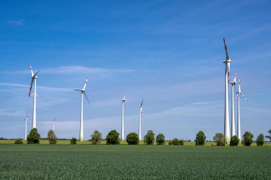
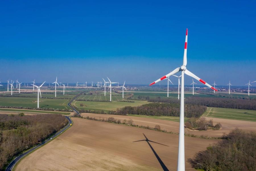
Preliminary Planning of a Wind Farm in Brandenburg

Preliminary Planning of a Wind Farm in Brandenburg

Preliminary analysis for the development of a wind farm in Brandenburg, Germany. The project included the assessment of potential sites, analysis of spatial and environmental constraints, review of relevant setback requirements, and preparation of technical documentation for subsequent planning phases.
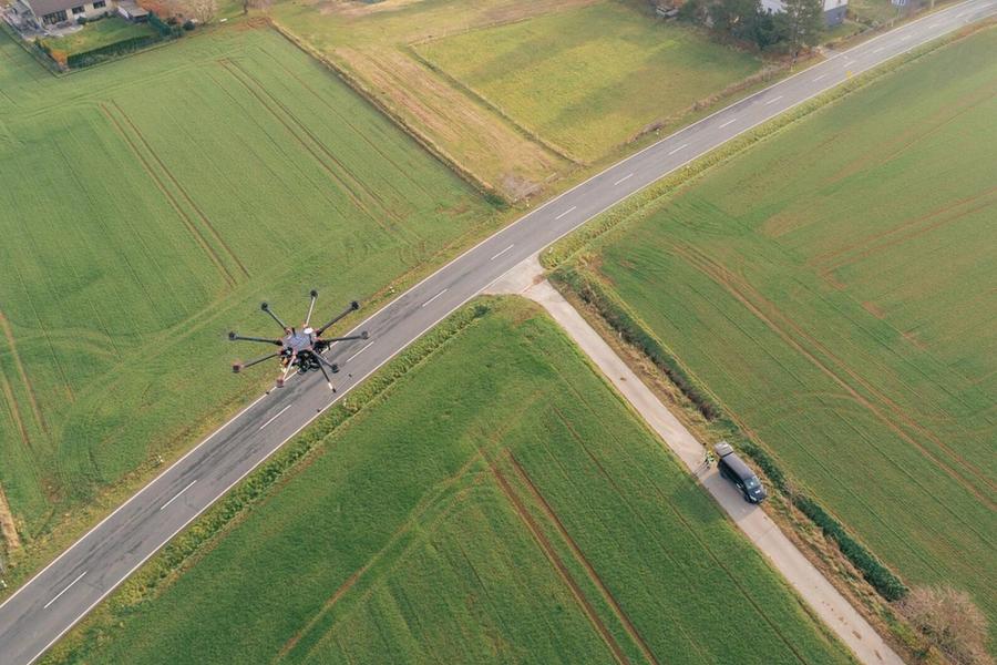
Drone Survey for an Energy Project

Drone Survey for an Energy Project

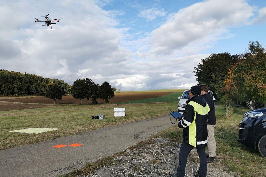
Drone-based aerial survey to collect detailed terrain data for energy infrastructure planning. The collected data provided an accurate mapping basis for site analysis and the coordination of subsequent project phases.

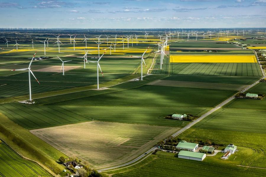
Feasibility Analysis for a Wind Energy Site in Lower Saxony

Feasibility Analysis for a Wind Energy Site in Lower Saxony

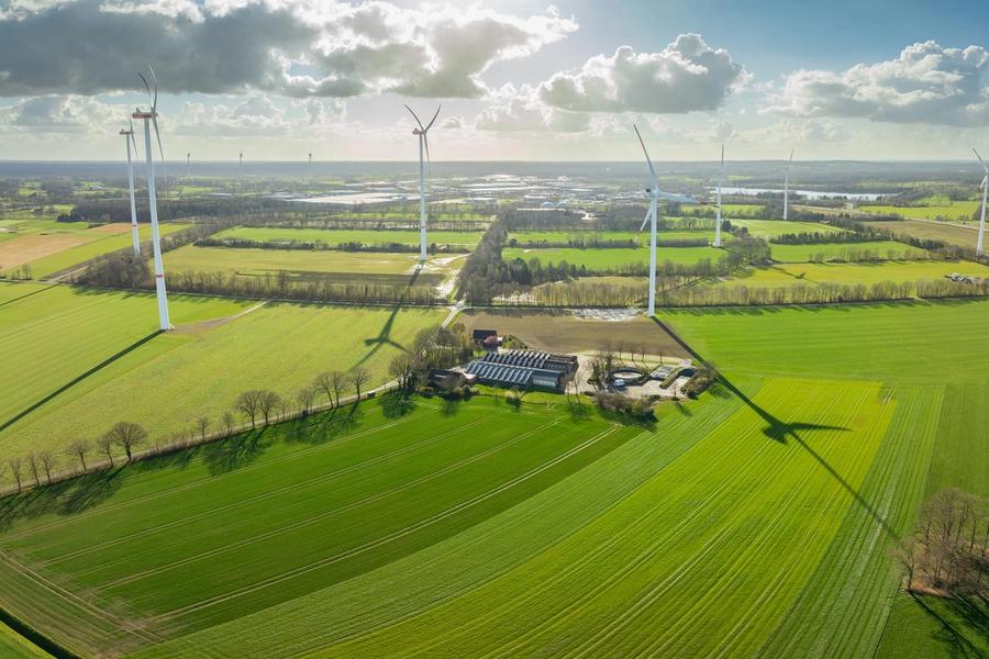
Technical and spatial assessment of a potential area for wind energy development in Lower Saxony. The study included an analysis of terrain conditions, planning constraints, existing infrastructure, and relevant environmental factors to determine the site's initial suitability.

Projects

Wind turbines in a rural landscape in Brandenburg

Wind Farm Planning in Brandenburg

Technical and spatial preliminary assessment for the development of a wind farm in Brandenburg. The project included the analysis of potential sites, existing infrastructure, and relevant planning and environmental conditions.

Wind turbines among agricultural fields in Lower Saxony

Wind Energy Feasibility Study in Lower Saxony

Feasibility assessment of a potential wind energy site in Lower Saxony. The study considered terrain characteristics, spatial constraints, existing infrastructure, and relevant environmental factors.

Drone surveying a rural project area

Drone Survey for an Energy Project

Drone-based survey of a potential project area to collect detailed terrain data. The resulting information provided an accurate cartographic basis for subsequent technical planning.